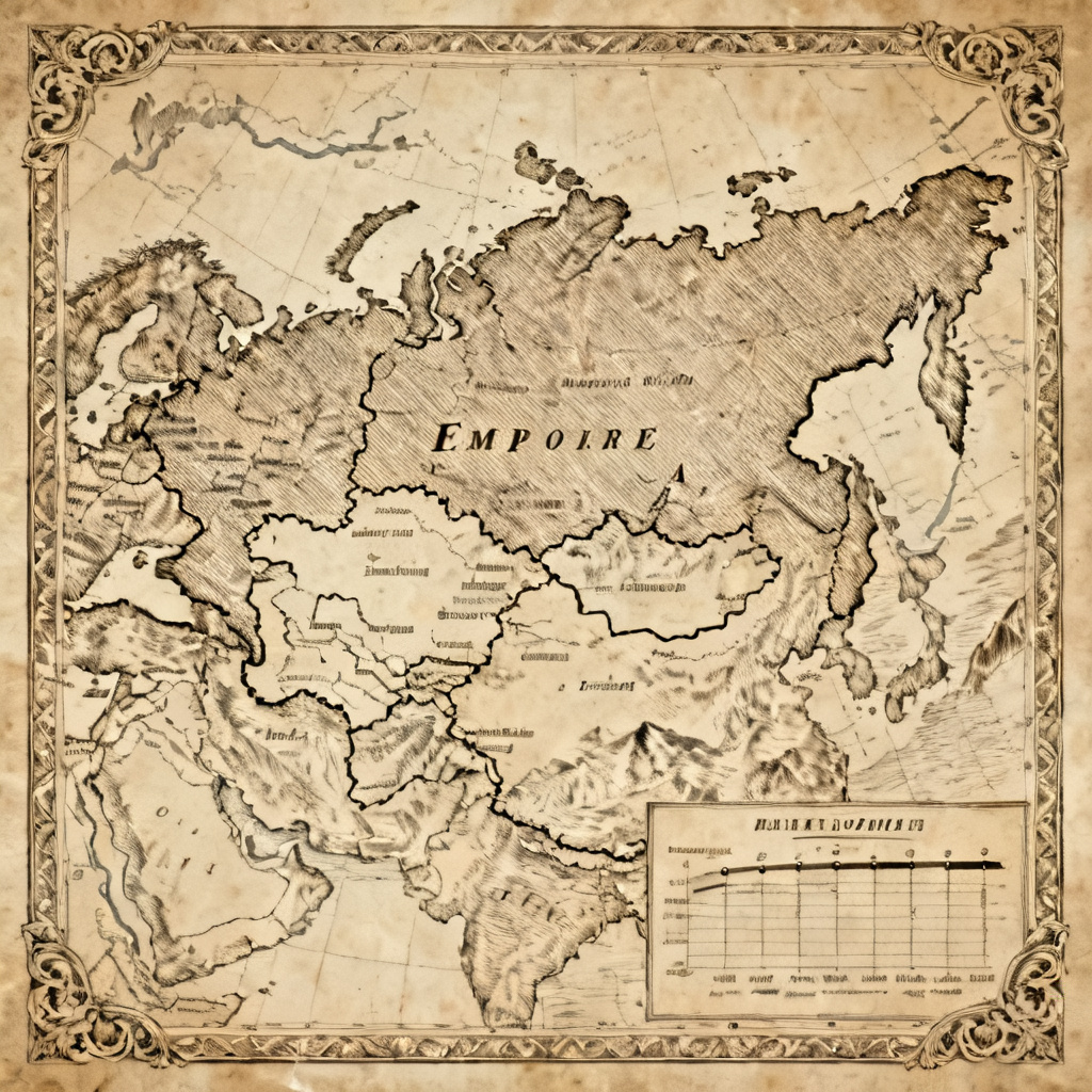

Myaiart’s free AI atlas generator lets you build beautiful multi-page map atlases in minutes. Upload GeoJSON, KML, CSV, or images, or simply describe your idea. Choose a cartographic style and our AI lays out pages, legends, scale bars, grids, and indexes automatically. Export a print-ready PDF or share interactive pages online.
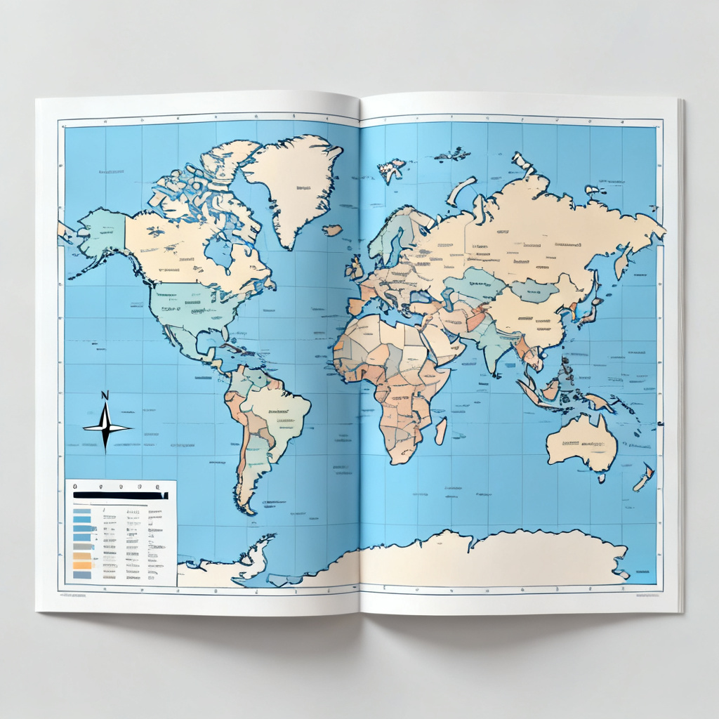
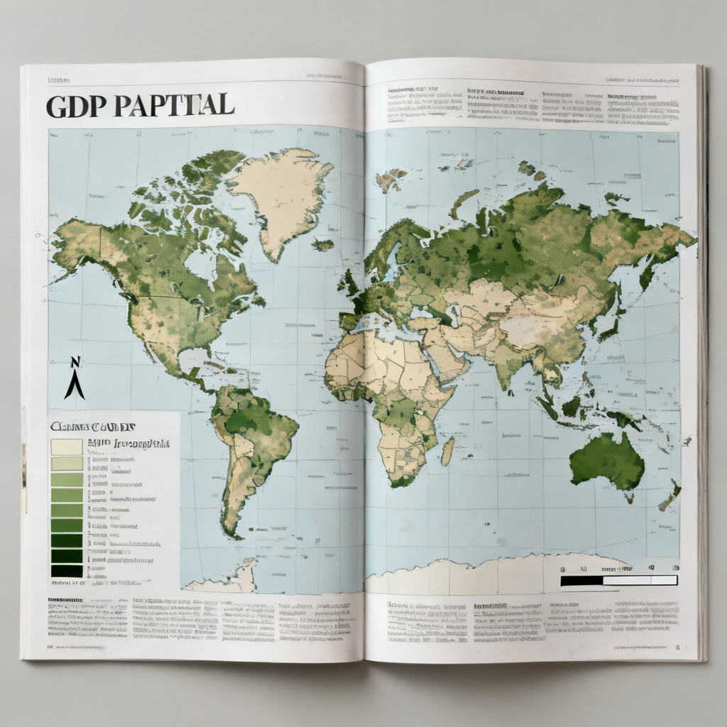
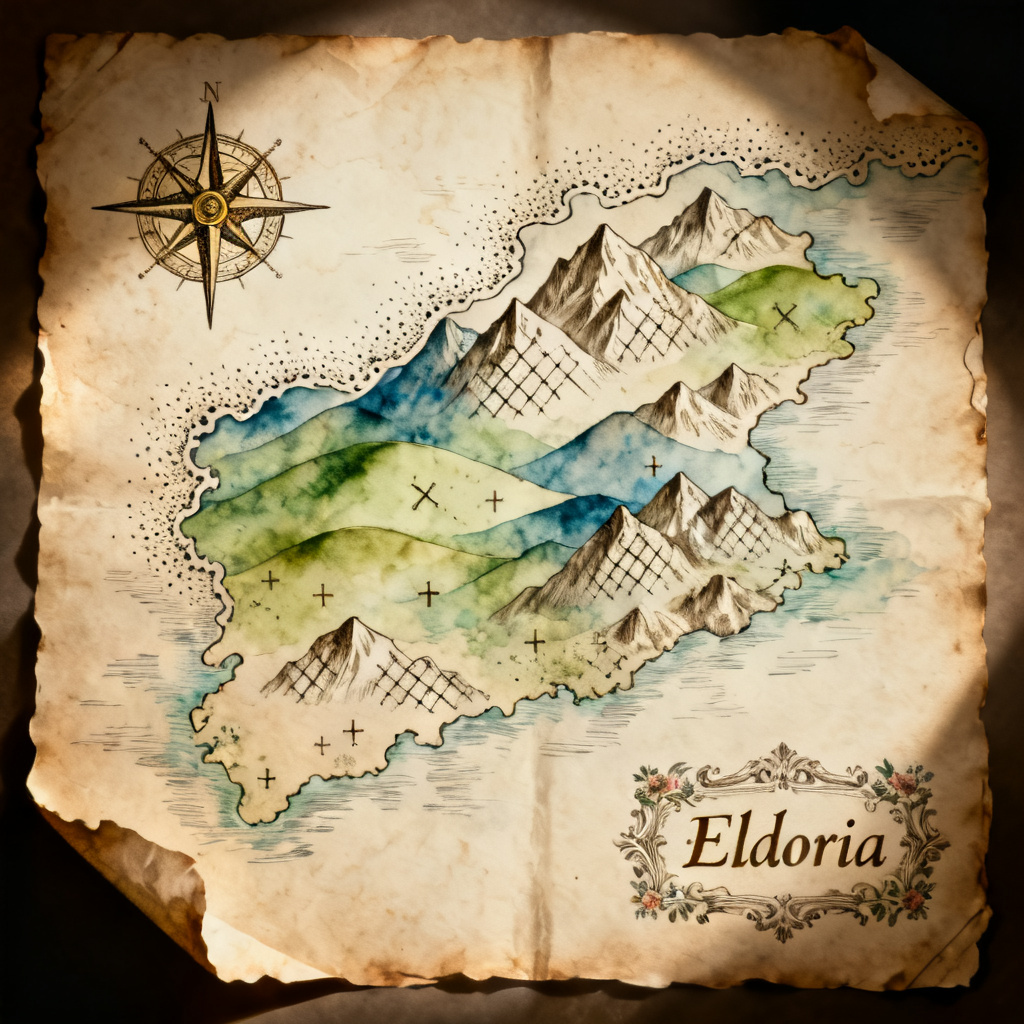
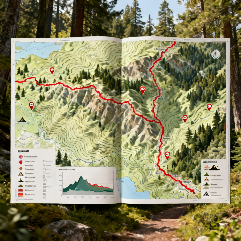
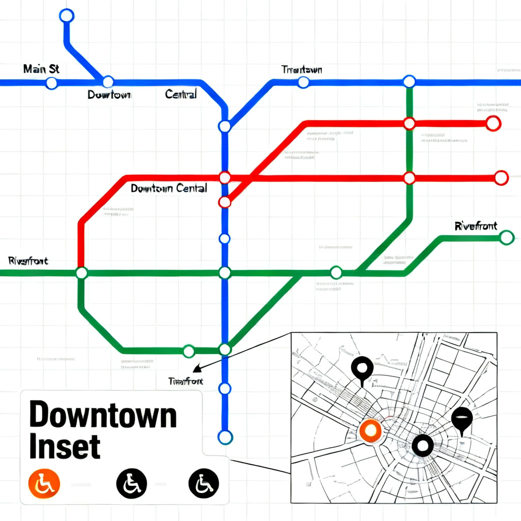
Start with a prompt like “30-page European travel atlas, minimalist style, A4” or upload GeoJSON, KML, shapefiles, CSV with coordinates, or reference images. Select themes such as choropleth, topographic, transit, fantasy, or historical to guide the AI atlas generator.
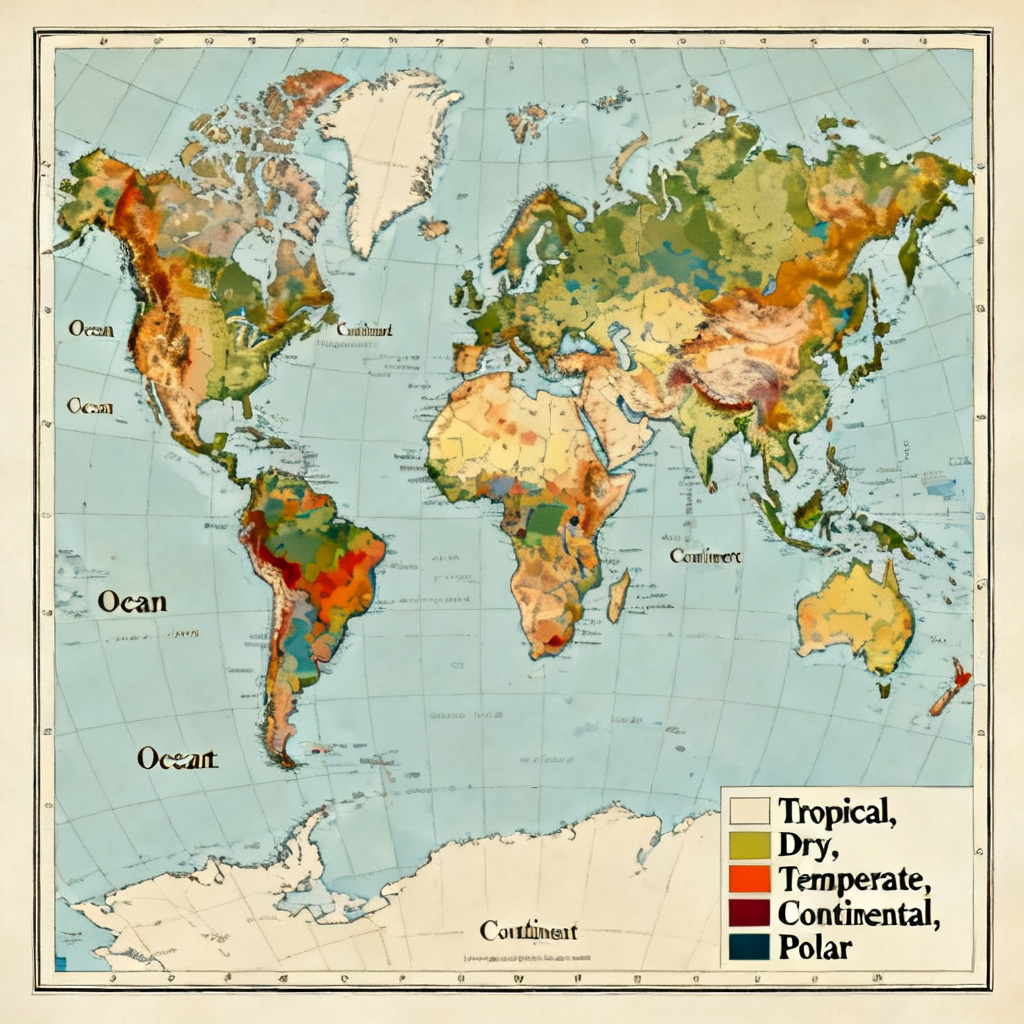
Pick a cartographic theme, projection, and page format. Options include Mercator, Robinson, or Lambert Conformal Conic, color ramps, fonts, margins, and grids. The AI builds page templates with legends, scale bars, neatlines, indexes, and table of contents for a consistent multi-page atlas.
Preview pages, adjust labeling density, color palettes, and map scales, then click Generate. Export a print-ready PDF, PNG, or SVG at up to 300 DPI, or share an interactive web atlas with live zoom and a searchable gazetteer index.
Use Myaiart to produce professional, multi-page atlases for education, travel, data storytelling, product catalogs, and worldbuilding. Customize layouts, projections, and legends to match your brand or academic standards.
AI analyzes your prompt or geospatial data to select appropriate projections, color ramps, labeling density, and legend structures. Get clear, professional atlas pages with balanced typography and readable symbology automatically.
Automatic pagination, table of contents, and indexes keep every spread consistent. Export high-resolution PDF, PNG, or SVG with crisp vector lines and clean, watermark-free results ready for print or digital publishing.
Generate atlases in minutes, then refine colors, fonts, margins, scales, and grids. Supports GeoJSON, KML, CSV, and image overlays, with options for Robinson, Mercator, or Lambert projections and customizable legends.