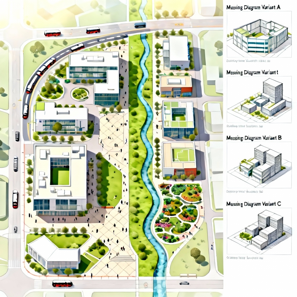
Design smarter cities in seconds. MyAIArt’s free AI urban planning generator turns text prompts and site photos into concept masterplans, zoning maps, street grids, and streetscape visuals. Explore 15-minute city ideas, transit-oriented development, land-use options, and green corridor networks, then iterate, compare, and export high-resolution plans for proposals, studios, and stakeholder presentations.
Upload a site photo, map, or parcel outline, or start from a detailed prompt. Include city, parcel size, target density, uses, transit context, setbacks, parks, street hierarchy, and key constraints for better results.
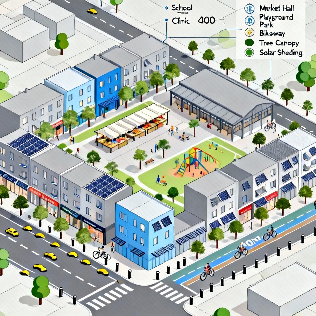
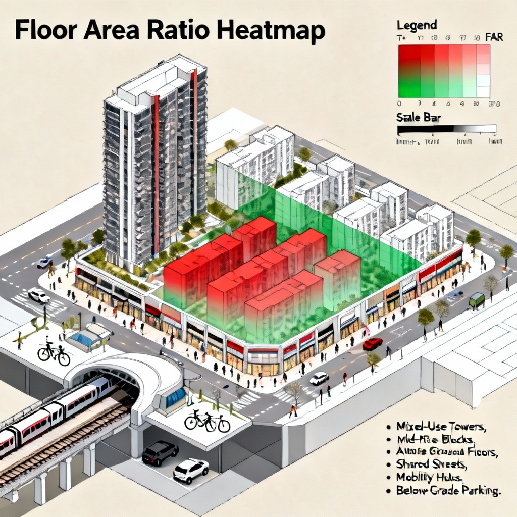
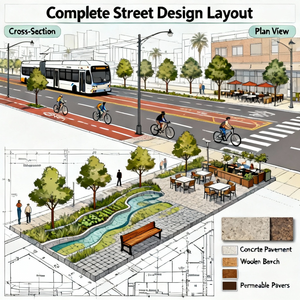
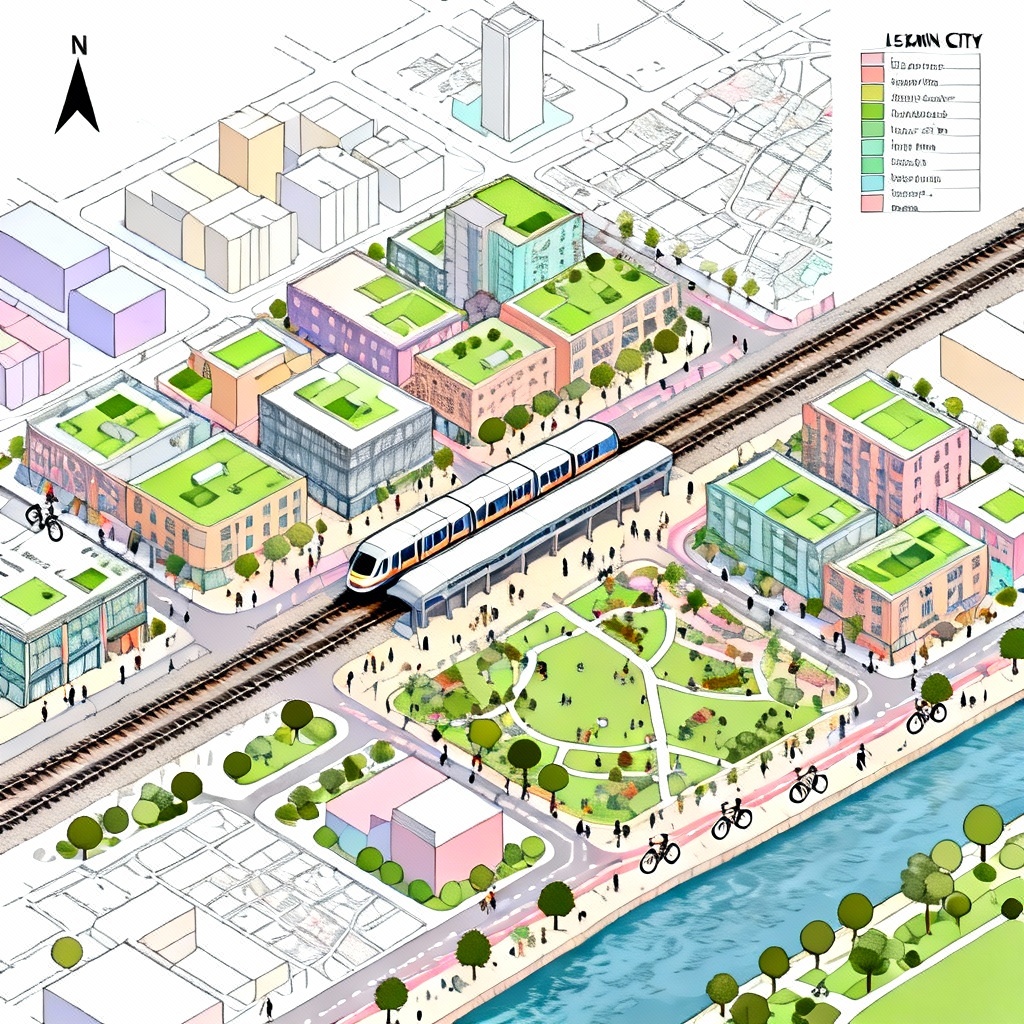
Pick styles such as zoning map, aerial masterplan, isometric massing, or streetscape section. Set controls like FAR ranges, building heights, block size, 15-minute radius, TOD priorities, green corridor coverage, flood levels, and parking strategy.
Click Generate to create options, compare variations, and adjust prompts. Use masking to edit areas, iterate quickly, then export high-resolution boards, PNGs, or layered images for presentations, reports, and studio reviews.
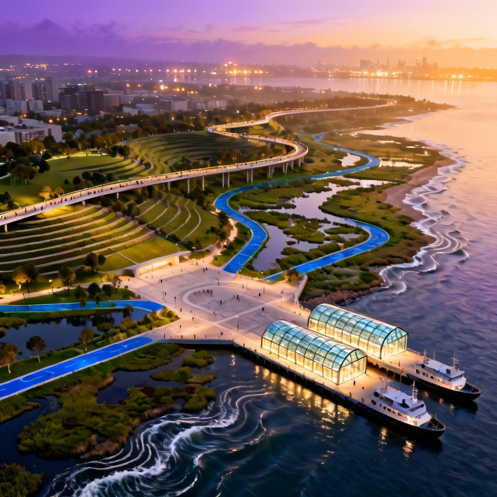
Turn ideas into clear visuals with the AI urban planning generator. From quick massing studies to polished boards, apply it across planning, design, research, and public engagement.
The generator interprets land use, access, and density cues from prompts or site images to propose coherent street grids, block structures, and massing while preserving key features like rivers, transit lines, and landmarks.
Adjust FAR bands, heights, setbacks, block sizes, open space ratios, and TOD priorities. Compare multiple options side by side to test scenarios and converge on the best concept quickly.
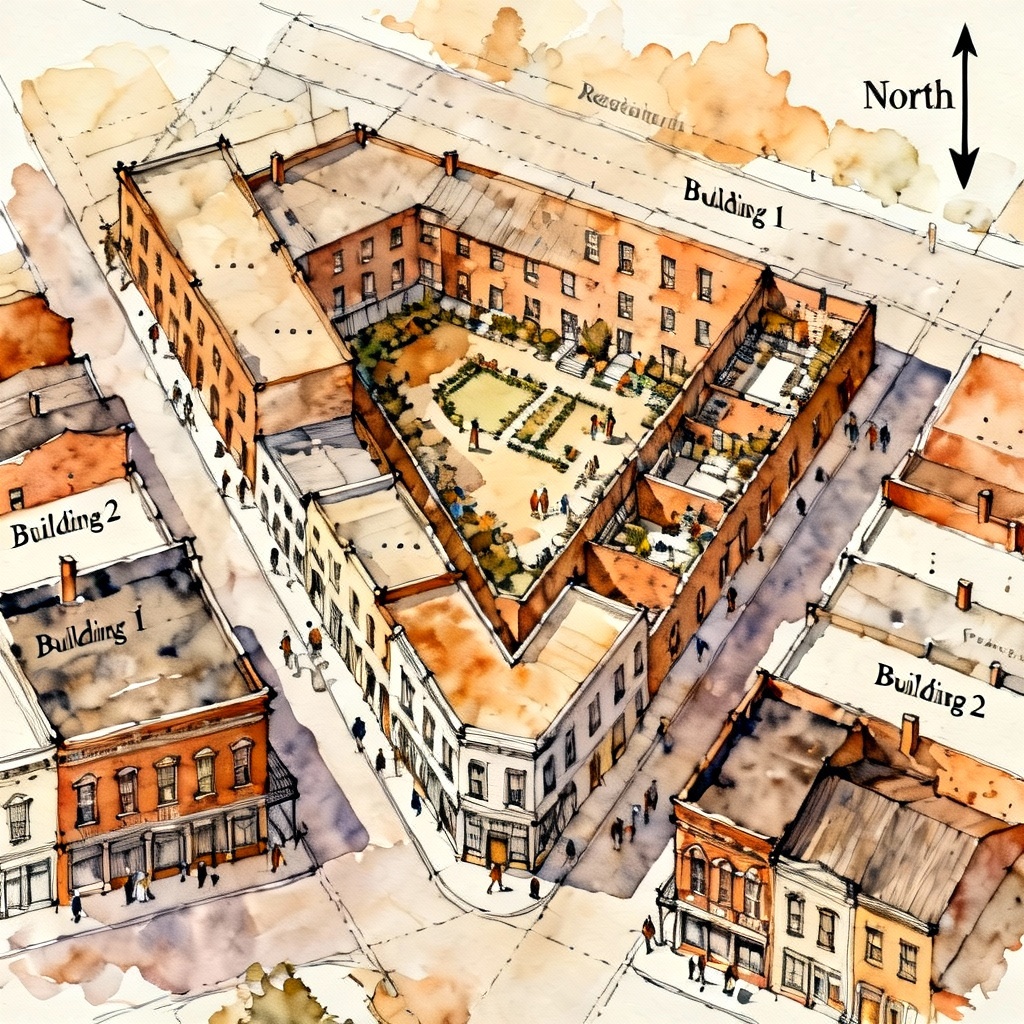
Download watermark-free, high-resolution plans, sections, and diagrams suitable for proposals, portfolios, classrooms, and community workshops, complete with readable labels, legends, and north arrows.